

Construction Services
Aerial Construction Site Photography & Video
Construction site documentation is an essential tool for general contractors, construction project managers, and investors.
Use aerial imagery to map, track progress over time, analyze, and measure from pre-construction to project completion. Utilize our aerial images to help with planning, monitoring, and documenting your project while saving time and reducing risk.
We offer weekly, bi-weekly, and monthly flights obtaining multiple overlapping images that can be processed to produce 2-D and 3-D High Resolution Maps. The data we can provide will assist with the following -
Project Planning & Design
As-Built Verification
Project Documentation
BIM Integration
Verify Sub-Contractor Work
We can also provide video of the project taken from the same viewpoints throughout the construction to provide a timelapse of the entire project from start to finish.
9/25/2020

11/17/2020

7/24/2021
Orthomosaic Mapping
Also called an orthophotograph or orthoimage, it is a detailed map created out of a series of photos that have been stitched together and geometrically corrected, or orthorectified. It is like using Google Earth but more detailed. Google Earth often has outdated images that don’t reflect current changes to the landscape.
An orthomosaic in construction can be used in all phases of the construction process to provide detailed updates on the progress of a project. Because of the precision and accuracy of the orthophoto it can be used to measure true distances. Weekly, bi-weekly, or monthly orthoimages can be used by project managers to zoom in and see small details without having to physically visit the construction site.
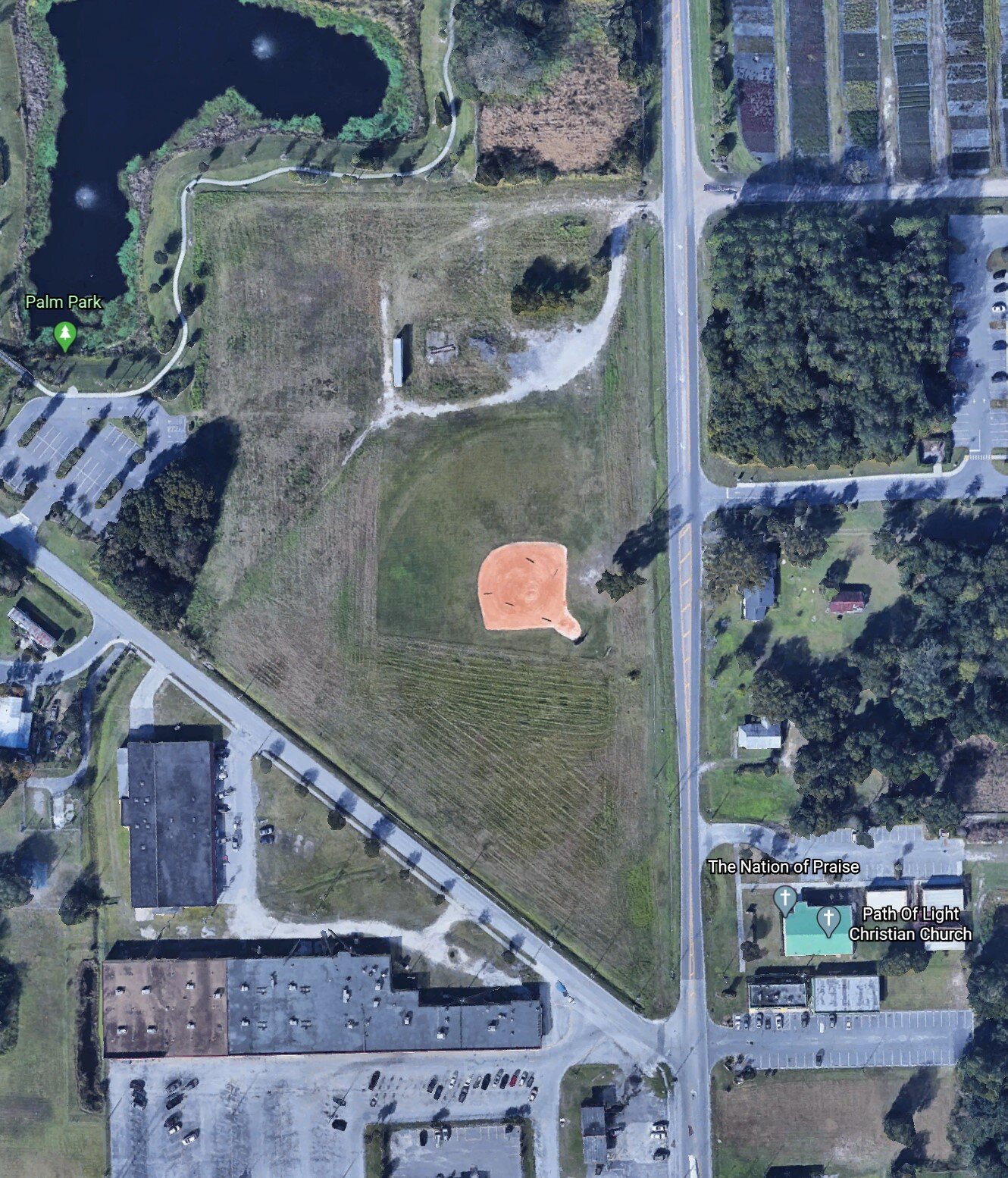
Google Earth image downloaded on same date as Drone Flight

Orthomosaic to show updated status of site (ortho image overlaid on map image)
A Slider Can Be Created To Show Progress Of The Site Over Time

3D Image of site